
ATLAS DEUTSCHLAND - ATLAS GERMANY - ATLAS ALLEMAGNE.
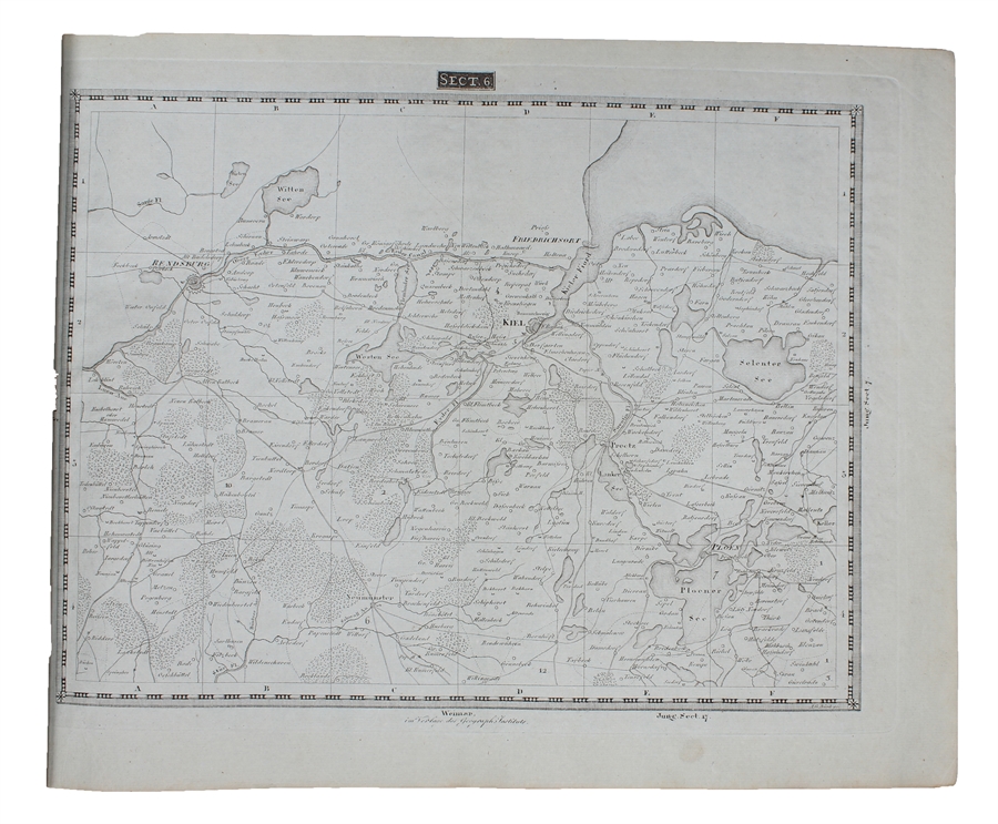
Carte topographique et militaire de L'Allemagne en 204 Feuilles.... (Topographisch-militairischen Charte von Teutschland in 204 Blaettern).
Weimar, Geographischen Instituts, 1807-13. Folio-oblong. (38 x 48 cm.). Contemp hcalf. Spine a little rubbed. A paperlabel pasted on upper part of spine. Corners bumped. Stamp on "Netz-Karte"/ "Tableau". With 3 other "Netz-Karte" on verso of Sect. 3,11 a. 14. The engraved title-page (in French) present as Sect. 10. With all 204 engraved plates (203 maps). The maps clean and fine throughout.
Order-nr.: 55735
DKK 25.000,00