
Washington, Jno. T. Towers, 1851. 4to. In publishers original full pictoral green cloth. Front and back board with embossed title and ornamentation, showing an eagle holding a banner and anchor beneath whom Columbia sits holding the shield of California with a bear asleep at her feet. Front board in gold. Lower front board with gilt stamp. Stamp to front free end-paper and title-page. Light wear to extremities and internally with light occassional miscolouring. 44. pp. + 11 lithographic plates including frontispiece and 6 folding maps.
Rare first edition of Commander Ringgold's charts, views, and sailing directions, for the entrance to San Francisco Bay and the inland waterways; the most accurate charts up until that time of the areas covered.
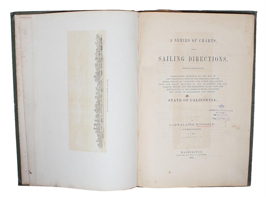
According to his introduction, Ringgold was persuaded by the citizens of San Francisco to undertake the task of accurately surveying the seaward approaches to the coast and the interior because of the vast amount of ship traffic that the area endured because of the Gold Rush and because, more ominously, of the "thousands of human beings...anxiously flocking thither, often in open boats, ill suited to the exposed navigation leading to the interior" (p. [5]). The survey began in August 1849, with Ringgold commanding the chartered brig Colonel Fremont. His surveys resulted in the present publication in 1851 which quickly became exceedingly popular. It was published in a total of five editions in 1851-52.
A 12mo-edition with text only was published prior to this publication, but this is the first edition to include the maps and charts (and the important comments to these) which essentially made this the most important and used survey of the San Francisco Bay area in the 1850ies.
Sabin 71425 (Sabin only calls for 8 plates).
Order-nr.: 53713