
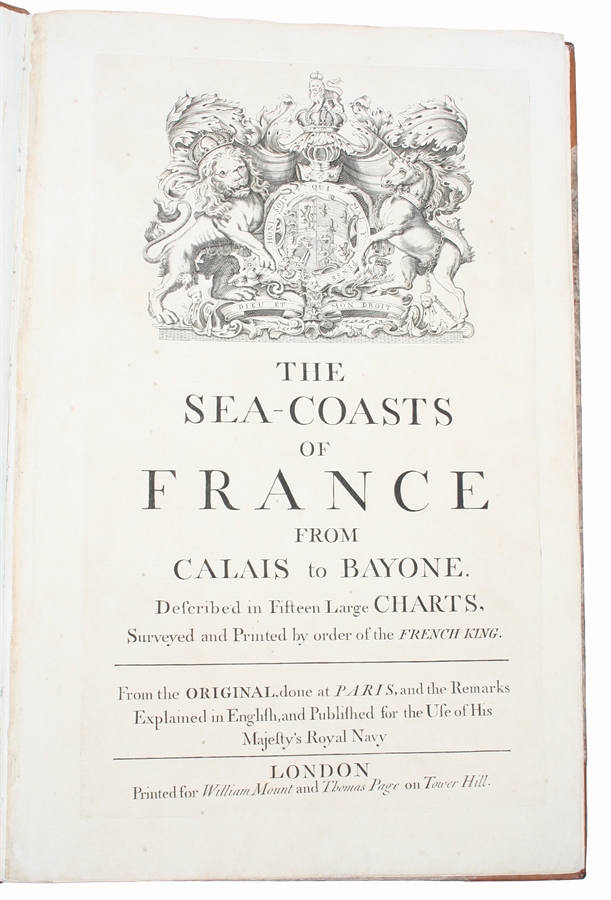
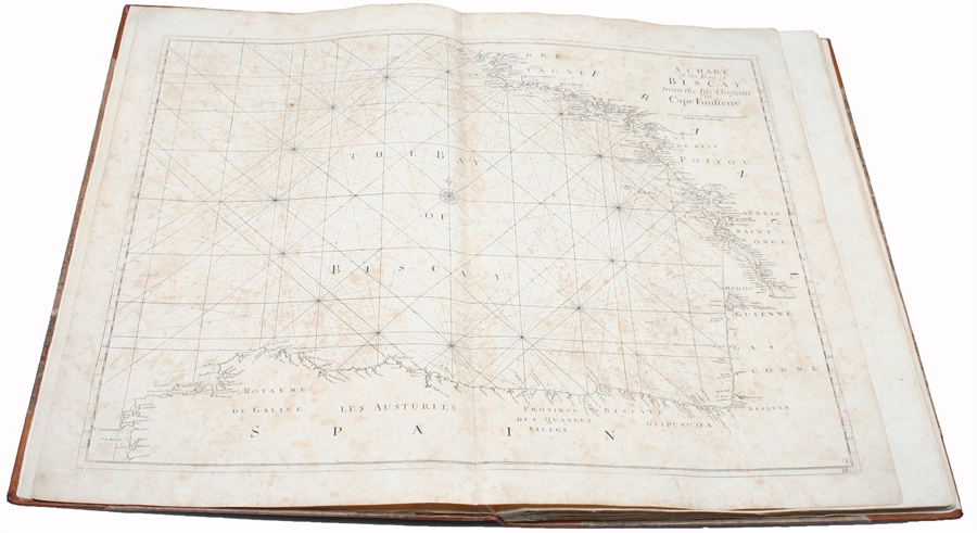
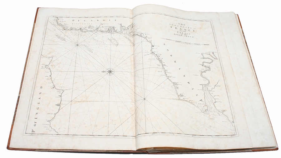
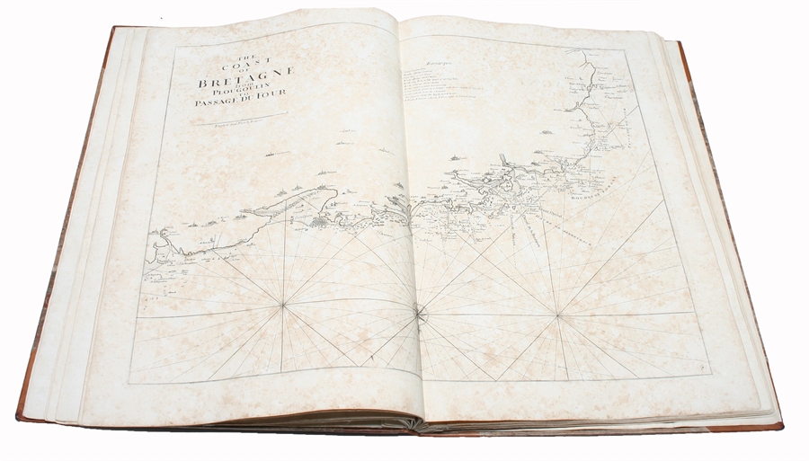
London, Printed for William Mount and Thomas Page on Tower Hall, no date (c. 1715). Folio. 53X35 cm. Cont. hcalf with marbled boards. Rebacked and recornered in old style with raised bands. Engraved typographical titlepage with a large engraved vignette showing the English King's Coat of Arms. With all 15 double-page engraved sea-charts (numbered (1)-(15) in lower right corners). Neat repairs to inner margins of free endpapers and titlepage. Some browning to charts. Chart 5 (45x75,5 cm) having the right margin shaved reaching the printed frame.
Second edition of this scarce "Atlas Maritime". According to Shirley it was first published by Richard Mount and Thomas Page in 1701 and re-issued with undated title (as this) in ab. 1715, but with the charts unchanged and a new engraved titlepage. A third issue came out in 1737 with a dated title. The fine charts are copied from Pieter Mortier's famous "Neptune Francois" (1693-1702) and reduzed in size.
"The charts in this early Mount & Page atlas "The Sea-Coasts of France" are re-engravings, reduzed in size, from the charts in the French Neptune of 1693. The charts may also be found in the 1702 edition of Mount and Page's Atlas Maritimus Novus..." (Rodney Shirley). - Not in Phillips. - Shirley Vol. II: M.M&P - 12 b.
Order-nr.: 34417