


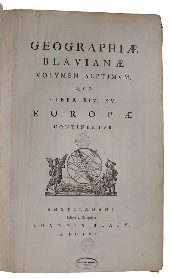

Amsterdam, Labore & Sumptibus - Johannis Blaeu, 1662.
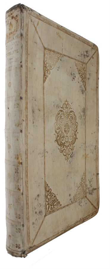
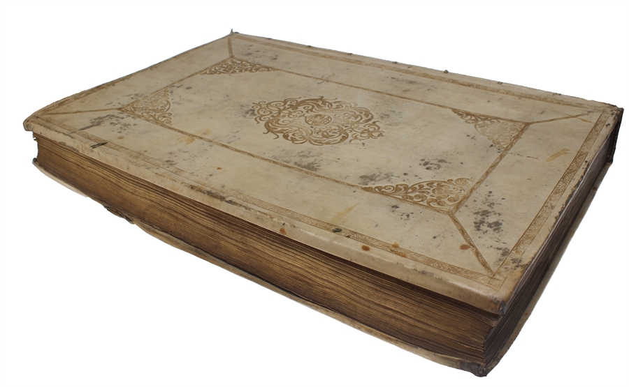
Large folio (350 x 545 mm). In publisher’s full vellum binding with central gilt arabesque and armillary sphere. All edges gilt. Boards with stains and marks. Outer margin on back board with waterstain. Small stamp on front free end-paper, lower part of title-page and lower part of frontiespiece (The Royal Danish Geographical Society). Occassional light brownpostting throughout. Approximately 50 leaves with waterstain in outer margin, primarily affecting last part.
(4), 256, (2), 78, (2) + 70 engraved maps. Complete, corresponds to Koemann Bl 56, 220.
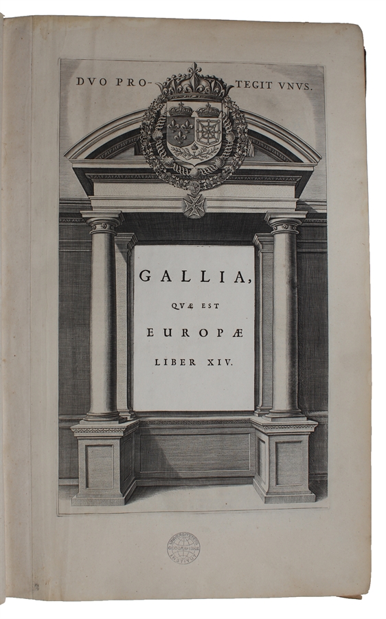
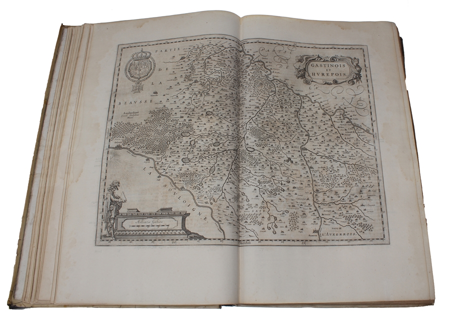
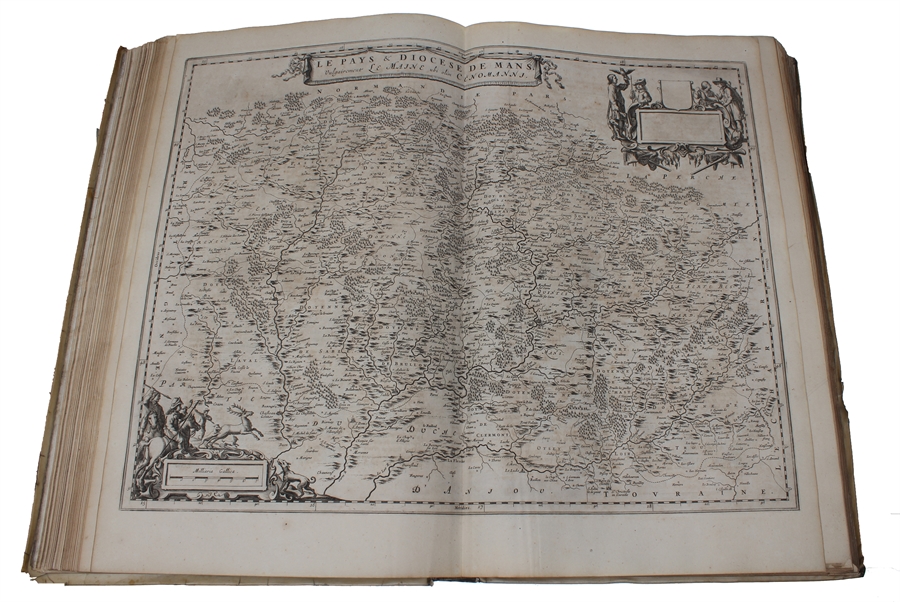
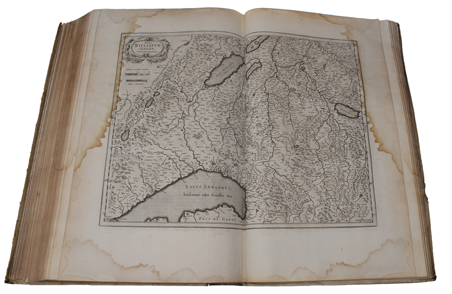
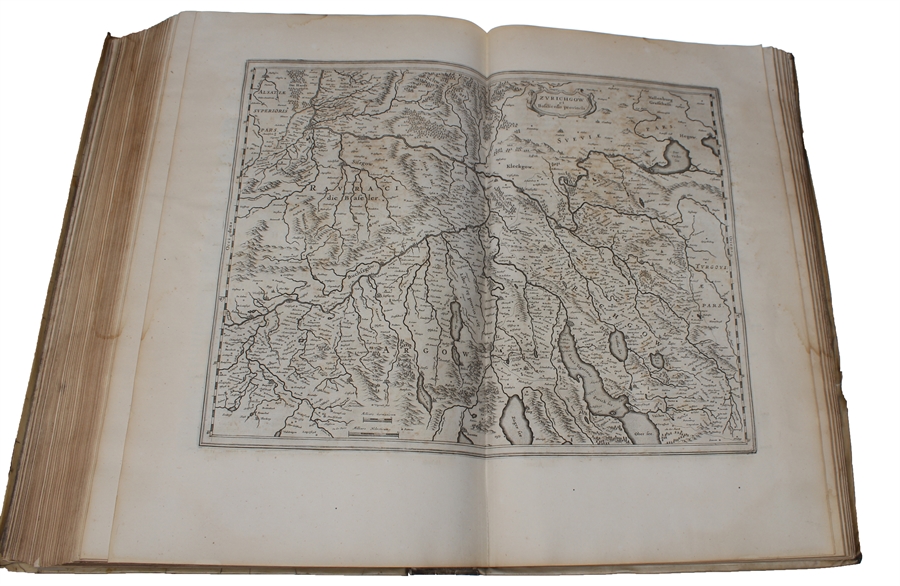
First edition of volume seven, containing France and Switzerland, of Blaeu’s monumental Atlas Major, one of the most significant works of the 17th century widely considered to be one of the greatest atlases ever produced. It was the most expensive book that could be acquired in the mid-17th century. The Atlas Major was a significant achievement in the history of cartography and it represented a major step forward in the development of the modern atlas. Most of the present maps were issued in previous editions of Blaeu’s atlases from the 1630s onwards, and derive variously from Maurice Bouguereau’s Le Théatre Francoys (1594), Jean le Clerc’s Le Théatre géographique du Royaume de France (1619), as well as from other maps by Hondius and Janssonius. "There are a small number of newer maps of France, some of which derived from the Geographer to the King of France, Pierre Du Val. The six maps of Switzerland in the atlas had been in print for several decades: four of them were copied from Mercator’s 1585 Galliae Tabulae geographicae." (National Library of Scotland). The Atlas Major was notable for its high level of accuracy and detail. The maps were based on the latest geographical knowledge and featured state-of-the-art cartographic techniques, such as the use of latitudinal and longitudinal coordinates, and a sophisticated system of map projection. The maps were also notable for their beautiful engravings and illustrations, which were produced by some of the most talented artists of the time. The Atlas Maior was a major commercial success and it was widely used by scholars, navigators, and government officials. It was translated into several languages, and it became the standard reference work for cartography and geography during the 17th century. Koemann Bl 56, 220.
Atlas Major was subsequently published with French, Dutch, German, and Spanish texts.
Order-nr.: 60287