GRAAH, W.A.
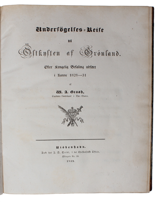
Undersøgelses-Reise til Østkysten af Grønland. Efter kongelig Befaling udført i Aarene 1828-31.
Kiøbenhavn, J. D. Qvist, 1832.
4to (255 x 213 mm). Nice contemporary half calf over marbled boards with gilt lettering and ornamentation to spine. With offsetting to verso of plates and vague, barely visible dampstain to upper outer corner on pp. 193-210. An exceptionally fine and clean copy. XVII, (1), 216 pp. + 8 coloured plates (all with preserved tissueguards) and 1 large folded map.
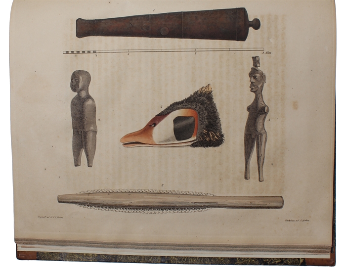
First edition of the account of the Royal Danish expedition to the East coast of Greenland in 1828, printed from its Commander's diary containing fine hand-colored plates depicting Eskimo umiaks and kayaks, their implements and summer dwellings and ruins of Norse settlements. “The Danes did not find any settlement where they searched on the eastern coast, and the men endured harrowing conditions and near starvation during three winters. Graah's work opens with a brief history of the exploration and colonization of Greenland before recounting his own expedition. Observations on the Greenlandic Inuit are incorporated as well.” (Macdougall, Narrative of an Expedition to the East Coast of Greenland, 2014) Graah named the southeastern coast of Greenland the King Frederick VI Coast and mapped about 550 km of formerly uncharted territory. Although he had been asked to reach 69°, Graah fell short of his goal of going further north owing to innumerable hardships. He made numerous contacts with the now extinct Southeast-Greenland Inuit, describing in detail some of their customs and way of life. Arctic Bibliography 6032
In 1828, a Danish expedition was sent from Copenhagen under the command of the naval officer and explorer Wilhelm August Graah (1793-1863). Its goal was to locate lost Norse settlements on the coast of Greenland, which had existed in certain places from around the turn of the millennium until their collapse some centuries later.
Sabin 28178
Order-nr.: 60323


