VANCOUVER, GEORGE.
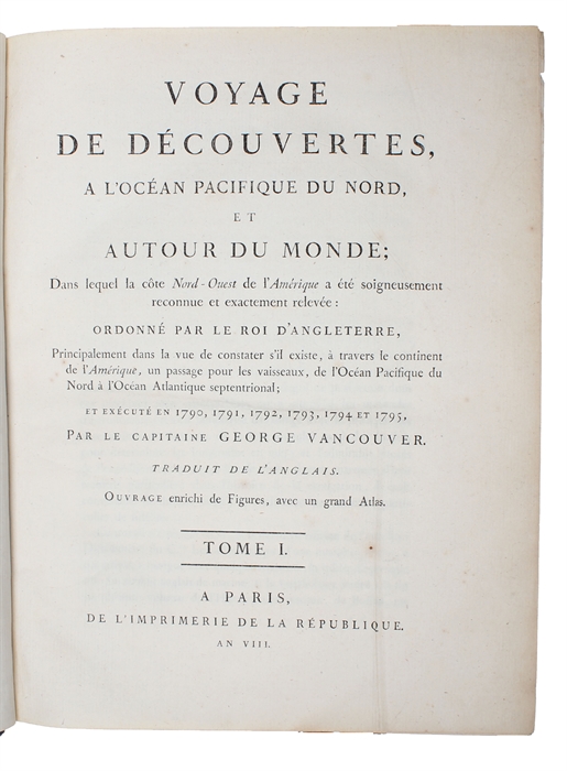
Voyage de Découvertes, a L'Océan Pacifique du Nord, et autour du Monde; dans lequel la côte Nord-Ouest de l'Amérique a été soigneusement reconnue et exactement relevée: ordonné par le Roi D'Angleterre, principalement dans la vue de constater s'il existe, à travers le continent de l'Amerique, un Passage pour les vaisseaux, de l'Océan Pacifique du Nord à l'Océan Atlantique septentrional; et exécuté en 1790, 1791, 1792, 1793, 1794 et 1795. Traduit de L'Anglais. Ouvrage enrichi de Figures, avec un grand Atlas. 3 Vols. + Atlas.
Paris, L'Imprimerie de la République, AN VIII (1800).
4to. a. Imperial folio. Bound in 4 uniform contemp. blue hcloth with marbled boards. Gilt lettering on spines. Minimal wear to extremities. Atlas with small repairs to spine-ends. (2,= htitle),XII,491;(6, incl. htitle),516;(6, incl. htitle),562 pp. and 7 + 6 + 5 engraved plates (incl. 1 map), all with tissue-guards. Atlas volume (66 x 47 cm.): 4 pp. (incl. htitle) and 10 double-page folded maps and 6 engraved plates (landfalls - profiles). A fine clean copy, wide-margined. 1 leaf a bit brownspotted, 2 leaves a bit frayed in right margin, 2 leaves slightly brownspotted, 2 leaves with loss of a bit of lower corner. Atlas clean and fine, some minor marginal brownspots.
First French edition of this classic work in geographical exploration, completing one of the most difficult surveys ever undertaken, that of the Pacific coast of North America, from the vicinity of San Francisco northward to present-day British Columbia. "This voyage became one of the most important ever made in the interests of geographical knowledge". (Hill).
Sabin, 98441.
Lada-Mocarski 55 (The original English edition).
Order-nr.: 53590


